Powerful, user-friendly geosteering software that helps in-house teams monitor well trajectory, interpret real-time drilling data, and maintain control of directional well placement.
Directional drilling teams need reliable tools to understand where a wellbore is positioned and how geological conditions are changing in real time. Purchasing and maintaining specialized software, however, may not be the right fit for every project or organization.
Selman Geo Services offers Geosteering Software Rental Services through EarthSteer™, our powerful, user-friendly platform designed for real-time well placement and trajectory monitoring.
EarthSteer™ gives operators, geologists, and drilling teams access to advanced geosteering functionality while allowing them to manage interpretation and operational decisions in-house. The rental model provides the flexibility to use professional software when it is needed without making a permanent software investment.
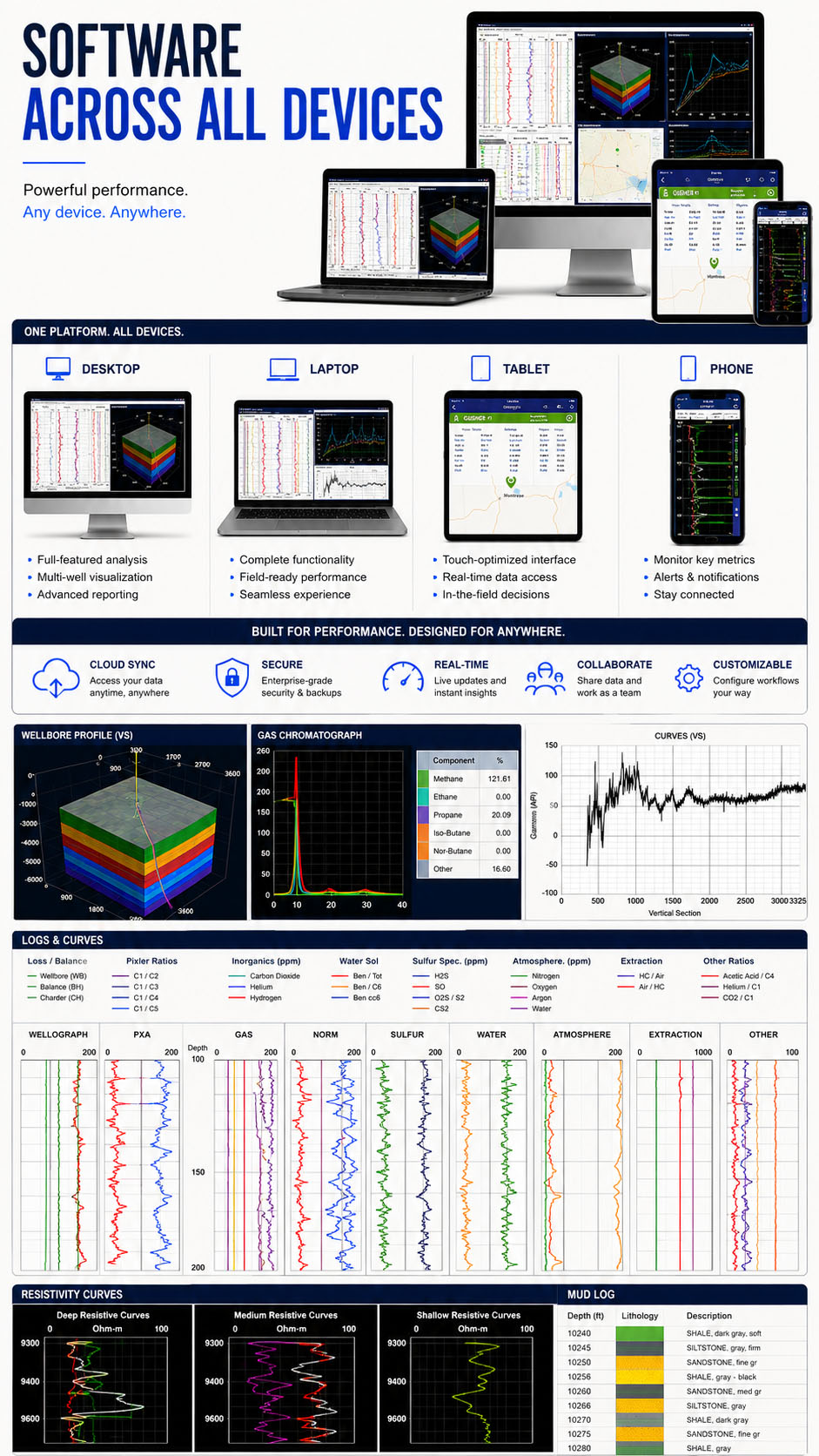
Geosteering software helps drilling teams combine directional survey information, geological measurements, and formation models to evaluate a wellbore’s position relative to a target interval.
As new data is received, the software allows users to update interpretations, monitor trajectory changes, correlate formations, and visualize the well path. This supports better-informed decisions during landing and lateral drilling.
Directional Drilling Software is especially valuable in horizontal wells where the target interval may be narrow, structurally complex, or difficult to follow using a static pre-drill model alone.
Not every operator needs to purchase a permanent geosteering platform. A rental model provides access to advanced capabilities for a specific well, drilling campaign, or period of increased activity.
Software rental may be a practical solution for teams that:
This flexibility allows operators to match software access with actual operational demand.
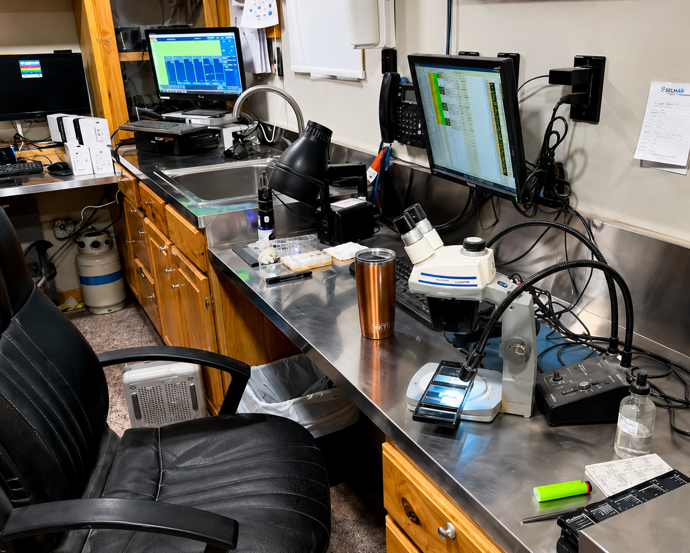
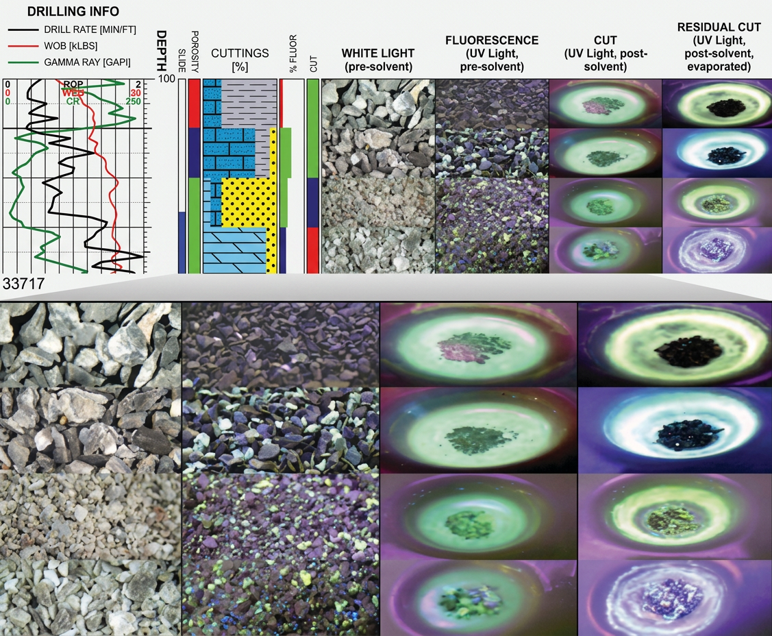
EarthSteer™ is Selman Geo Services’ geosteering platform for teams that want direct control over well-placement interpretation. It is designed to help users organize drilling data, visualize trajectory, track formation changes, and update geological interpretations as the well progresses.
The platform supports a practical geosteering workflow by bringing important directional and geological information into one environment.
EarthSteer™ is built to be powerful enough for complex drilling projects while remaining approachable for geologists and technical teams that need a clear, efficient interface.
EarthSteer™ helps teams monitor directional progress as new drilling information becomes available. Instead of relying only on a static plan, users can compare the current well path with the target formation and adjust their interpretation throughout the operation.
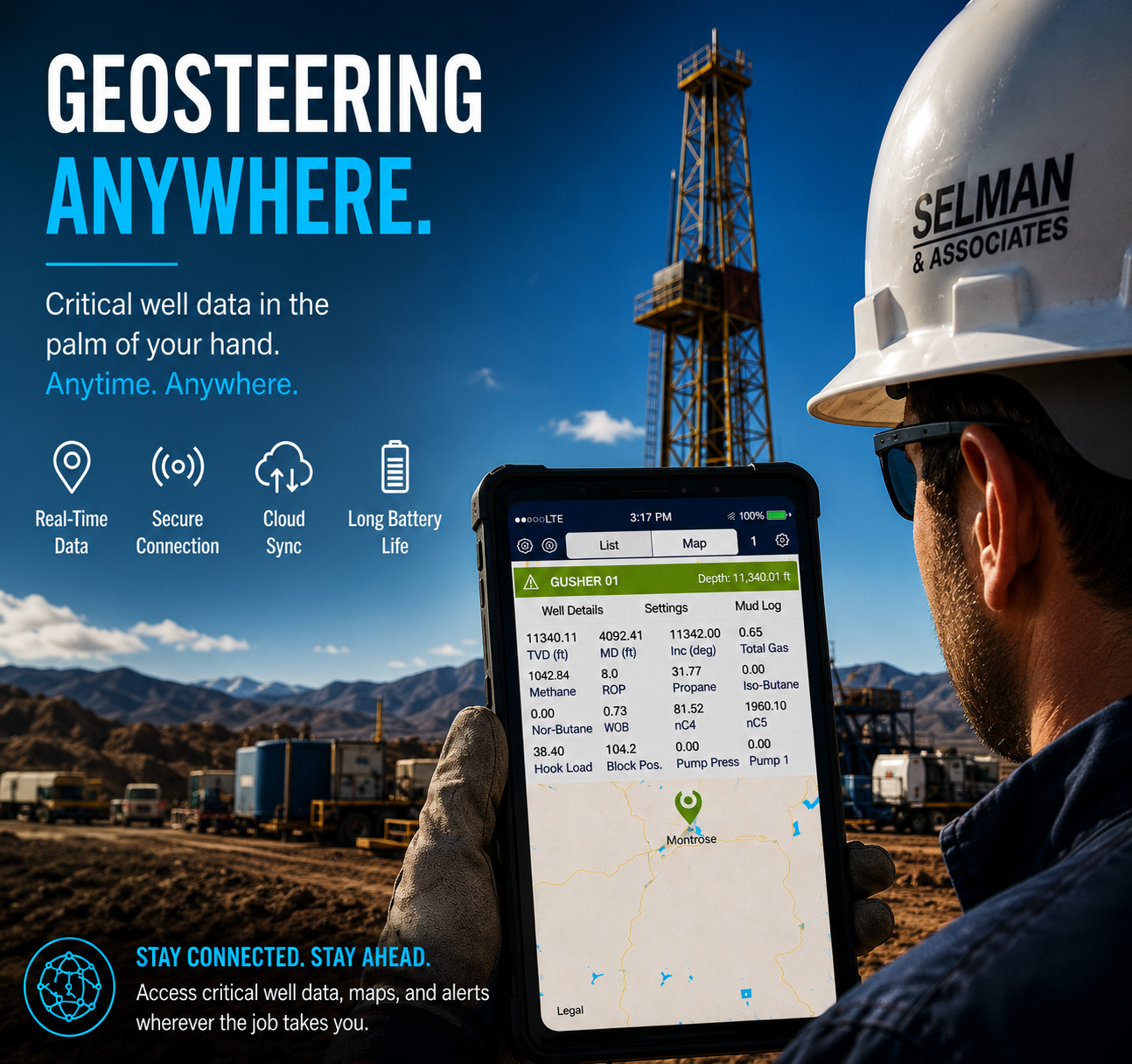
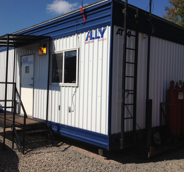
Effective geosteering depends on understanding how multiple data sources relate to one another. EarthSteer™ helps users evaluate well trajectory alongside the geological information available for the project.
Depending on the drilling program and available integrations, teams may work with:
Bringing these inputs together supports a more complete understanding of the wellbore’s current position and the geological conditions being encountered.
The objective of geosteering is to maximize the amount of wellbore positioned within the preferred target interval. When a well drifts outside that interval, reservoir contact and production potential may be reduced.
EarthSteer™ helps in-house teams evaluate:
This supports more deliberate and informed decisions throughout the directional drilling process.
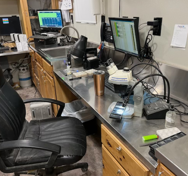
A geosteering platform must be technically capable without creating unnecessary complexity for the people using it. EarthSteer™ is designed around a practical workflow that allows geologists and technical teams to focus on interpretation and well placement.
The software’s user-friendly approach helps teams organize project data, update interpretations, communicate findings, and maintain a consistent view of the well throughout the operation.
Some operators prefer to keep geosteering interpretation within their own geological or drilling team. EarthSteer™ supports this model by providing the software environment needed to manage trajectory analysis and formation interpretation internally.
In-house control can help teams:
Selman Geo Services can also provide geological consulting or reporting support when additional expertise is needed.
EarthSteer™ software rental can be used as a stand-alone in-house tool or combined with Selman’s broader Geosteering Services, Geosteering Reporting, mud logging, and geological consulting capabilities.
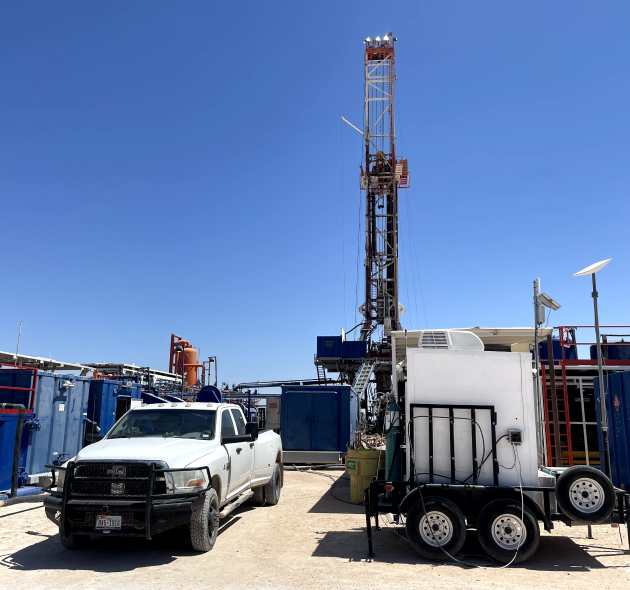
EarthSteer™ can support different well types, operational models, and drilling programs. Rental terms and project support can be tailored around the needs of the client.
Selman Geo Services understands geosteering from both the geological and operational sides of the drilling process. EarthSteer™ was developed around the practical needs of teams working with real drilling data and real well-placement decisions.
EarthSteer™ is more than a software rental. It is supported by a company with extensive experience in mud logging, directional drilling support, formation evaluation, and real-time geological interpretation.

EarthSteer™ is Selman Geo Services’ geosteering software platform for monitoring well trajectory, correlating formations, and supporting real-time well-placement decisions.
Software rental may be a good fit for operators, consulting geologists, and in-house drilling teams that need professional geosteering capabilities for a specific project or drilling campaign.
Yes. EarthSteer™ is designed for teams that want to manage geosteering interpretation and reporting internally.
Projects may use directional surveys, gamma ray data, measured depth, true vertical depth, drilling trends, mud logging information, gas data, offset wells, and geological models.
Yes. Selman Geo Services can provide software guidance as well as optional geological consulting, mud logging, and geosteering reporting support.
Our Service Areas
Selman Geo Services provides professional mud logging and geological services across key oil and gas basins in the United States.
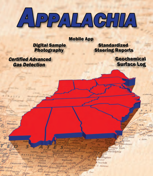
Comprehensive mud logging and geological services throughout the Appalachian Basin, delivering real-time data and accurate formation analysis.
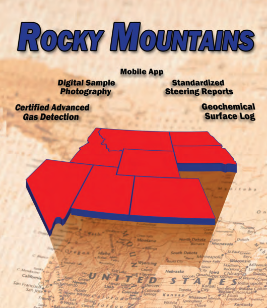
Serving the Rocky Mountain region with advanced geological insights and mud logging expertise to support complex drilling operations.
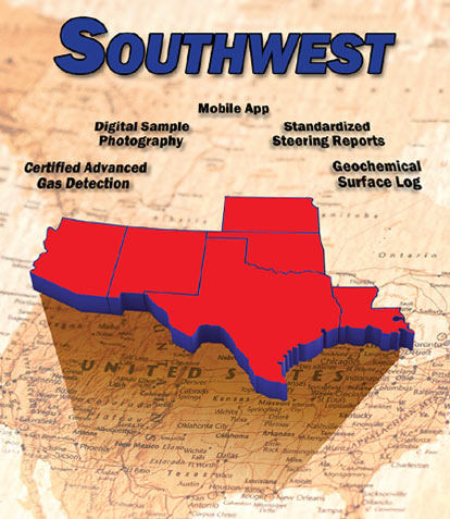
Delivering reliable mud logging and geological services across the Southwest with a focus on safety, accuracy, and efficiency.
Our teams are strategically located to deliver real-time data, expert insights, and responsive support across the regions we serve.
Give your in-house team the tools to monitor trajectory, interpret geological changes, and make better-informed well-placement decisions without a permanent software commitment.
Posted on Google