Real-Time Geological Interpretation and Precision Well Placement
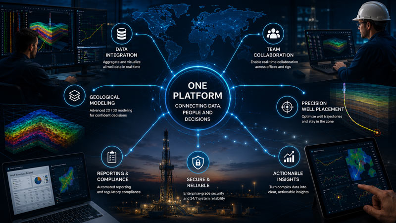
Connect drilling data, geological interpretation, formation correlation, trajectory monitoring, 3D visualization and reporting in one coordinated EarthSteer™ environment.
EarthSteer™ combines the core capabilities needed to interpret, communicate and act on subsurface information.
Real-Time Insight
Interpret drilling and geological information as the well advances.
Integrated Workflows
Bring logs, correlation, trajectory and interpretation into one environment.
Precision Well Placement
Evaluate well position relative to target windows and geological boundaries.
Professional Deliverables
Create clear visual reports for technical and operational stakeholders.
A Unified Geosteering Platform
EarthSteer™ brings real-time drilling data, geological interpretation, formation correlation, well trajectory monitoring and reporting into one coordinated software environment.
Built for geologists, operators and drilling teams, the platform helps technical users evaluate the well’s position, update subsurface interpretations and communicate decisions efficiently.
Consolidate critical drilling and geological information
Maintain a current interpretation as new data arrives
Improve alignment between office and field teams
Real-Time Data Integration
EarthSteer supports workflows that combine LWD, MWD, gamma ray, resistivity, directional surveys, mud logging observations, formation tops and offset-well information.
Review drilling and geological data together
Reduce delays caused by disconnected tools
Support faster technical communication
Keep interpretations synchronized with operational progress
Formation Correlation
Compare active-well responses with offset wells, marker beds, interpreted horizons and formation tops. EarthSteer helps geologists evaluate stratigraphic continuity and structural relationships as new information becomes available.