Interpret, Visualize, Collaborate and Report in One Geosteering Environment
Explore the coordinated tools EarthSteer™ provides for real-time data review, geological interpretation, formation correlation, trajectory monitoring, 3D visualization, collaboration and professional reporting.
EarthSteer™ combines the essential tools geosteering teams need to evaluate the well, communicate interpretations and support placement decisions.
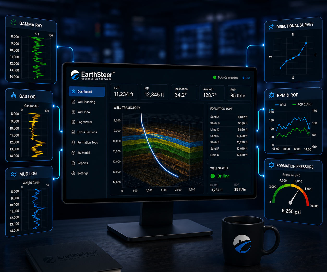
Real-Time Data Review
Review drilling, logging, survey and geological information as the well advances.
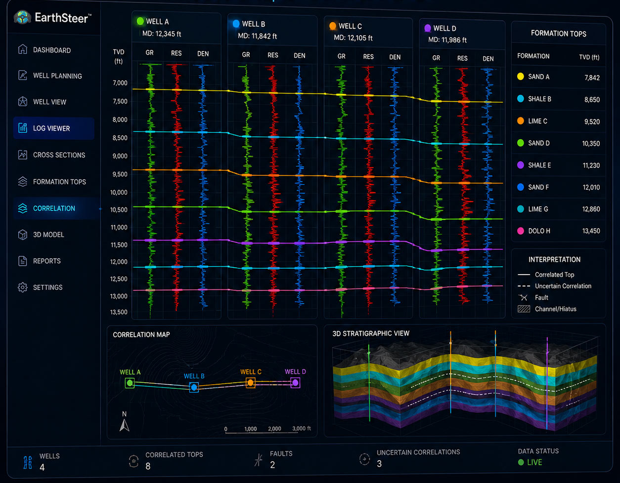
Formation Correlation
Compare the active well with offset logs, marker beds, formation tops and interpreted horizons.
Trajectory & Target Analysis
Evaluate planned, actual and projected well paths relative to geological targets.
Professional Reporting
Create clear technical reports, cross sections and visual summaries for stakeholders.
A Unified Geosteering Workspace
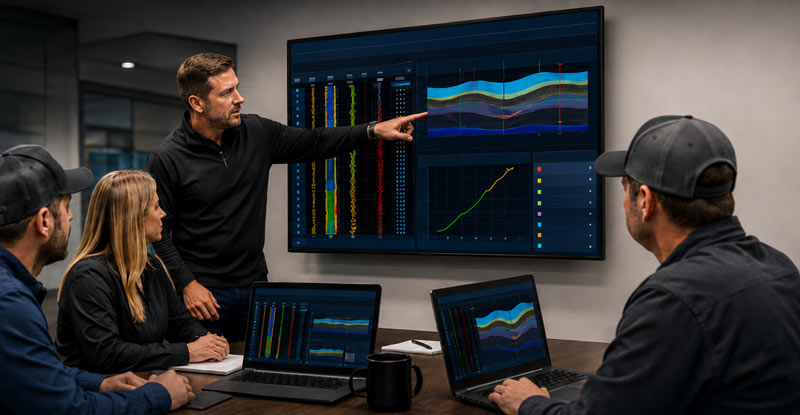
EarthSteer™ brings drilling data, geological interpretation, trajectory monitoring, visualization and reporting into one coordinated environment. Teams can work from a shared technical view instead of fragmented applications and disconnected files.
Centralized project information
Integrated geological and directional context
Consistent interpretation across teams
Clearer operational communication
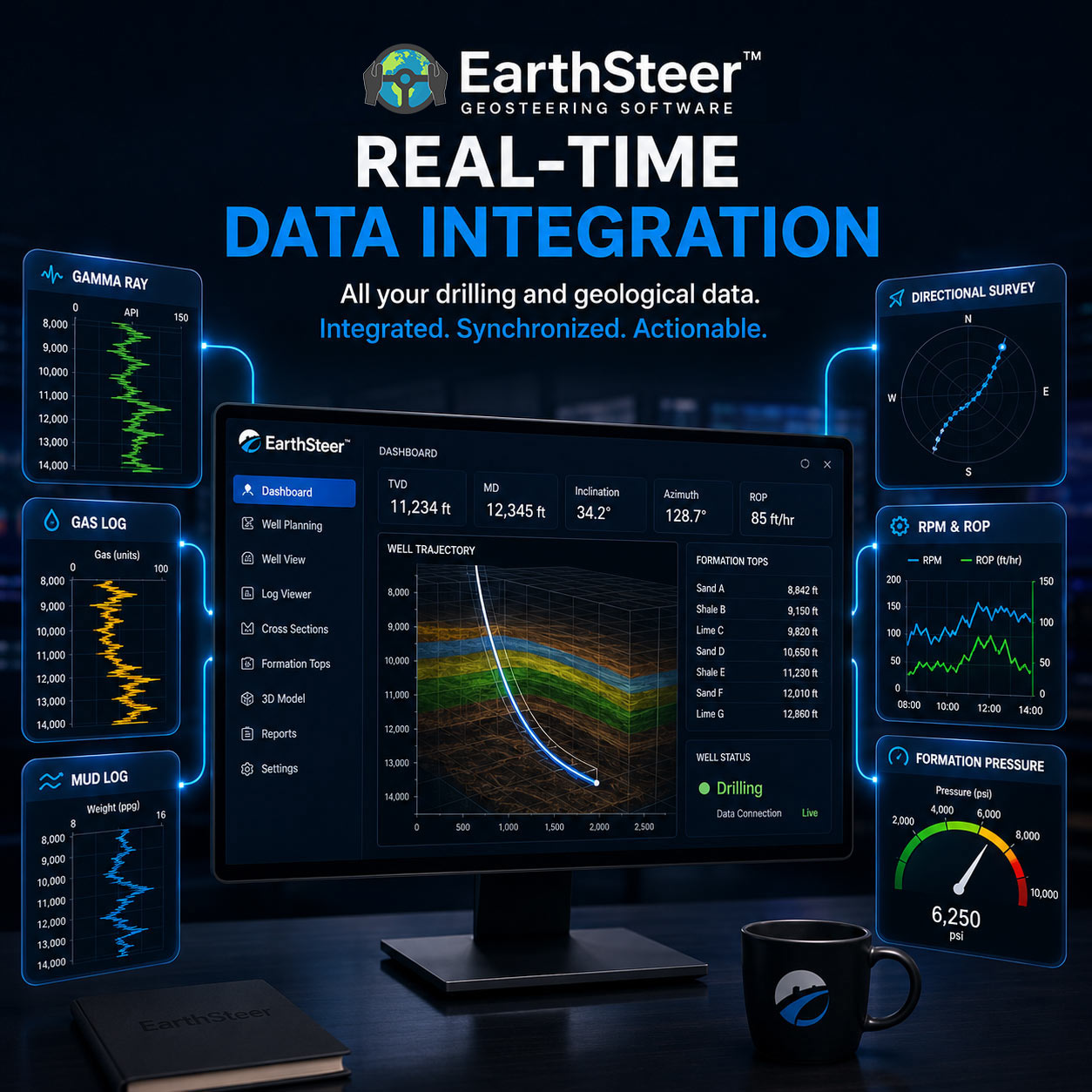
Real-Time Data Integration
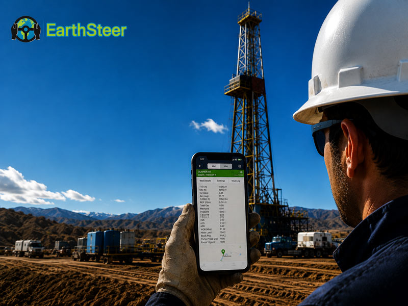
Review incoming well information as operations progress. EarthSteer™ supports workflows that combine LWD, MWD, gamma ray, resistivity, directional surveys, mud logging observations, formation tops and offset-well data.
LWD and MWD data review
Mud logging and gas information
Directional survey integration
Offset-well and formation-top context
Formation Correlation and Interpretation
Compare active-well responses with offset wells, marker beds, interpreted horizons and formation tops. EarthSteer™ helps users maintain geological context through landing and lateral drilling.
Offset-log comparison
Marker-bed identification
Formation-top tracking
Structural and stratigraphic interpretation
Precision Well Placement
Evaluate planned, actual and projected well trajectories relative to landing zones, target windows, interpreted boundaries and reservoir intervals.
Target-window tracking
Planned-versus-actual trajectory review
Boundary and landing-zone awareness
Projected position assessment
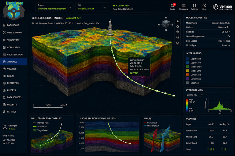
3D Geological Modeling and Visualization
Use three-dimensional visualization to evaluate well paths, geological surfaces, structural relationships and target intervals. The 3D environment improves technical understanding and makes complex subsurface relationships easier to communicate.
3D well-path visualization
Geological surface display
Target and boundary relationships
Multiple-well context
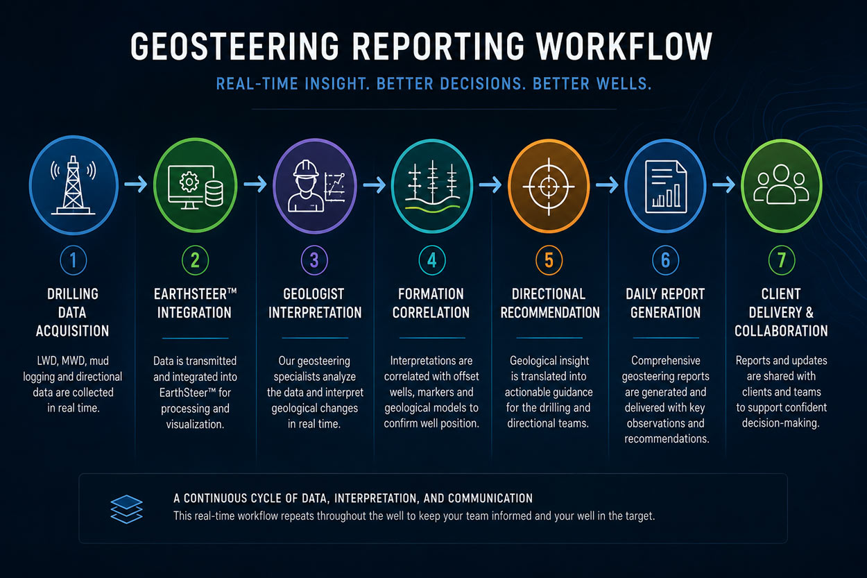
Enterprise Features in One Coordinated Workflow
EarthSteer™ connects real-time review, interpretation, trajectory analysis, cross sections, 3D modeling, collaboration and reporting within one geosteering platform.
One Platform Connecting Data, People and Decisions
EarthSteer™ gives geologists, drilling engineers, directional teams and decision-makers a shared technical view of the well—from incoming data through interpretation and final reporting.
See EarthSteer™ Features in Action
Schedule a demonstration to review the platform’s data integration, formation correlation, trajectory analysis, 3D visualization, collaboration and reporting capabilities.